Authors:
Rok Ciglič, Blaž Komac
Year:
2015
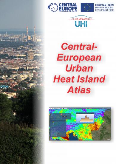
The Central-European Urban Heat Island Atlas (CE UHI Atlas) is a web tool for presentation of different factors influencing urban heat island phenomena. It is a result of the UHI project – Development and application of mitigation and adaptation strategies and measures for counteracting the global urban heat islands phenomenon. The UHI is a microclimatic phenomenon that occurs in the metropolitan areas. It is characterized by a significant increasing of temperature in urban areas with respect to the surrounding rural areas. These areas of higher temperatures are termed ‘urban heat islands’.
The Atlas presents different factors influencing the urban heat island, such as elevation, vegetation status, land use, and settlement density. The atlas consists of the following digital layers: elevation, normalized difference vegetation index, air and land surface temperature, land cover and land use, night scene, and project partner data.
The CE UHI Atlas is a tool for considering the critical urban areas in Central Europe and can be used to limit the temperature increase in cities by establishing proper short-term and long-term mitigation, risk prevention and management activities.
-
Authors
-
Publishing House:
Založba ZRC
-
Publisher
-
ISBN
978-961-254-481-2
-
Year
2015
Language(s)
-
Specifications
internet publication html
-
E-publications
-
Permalink