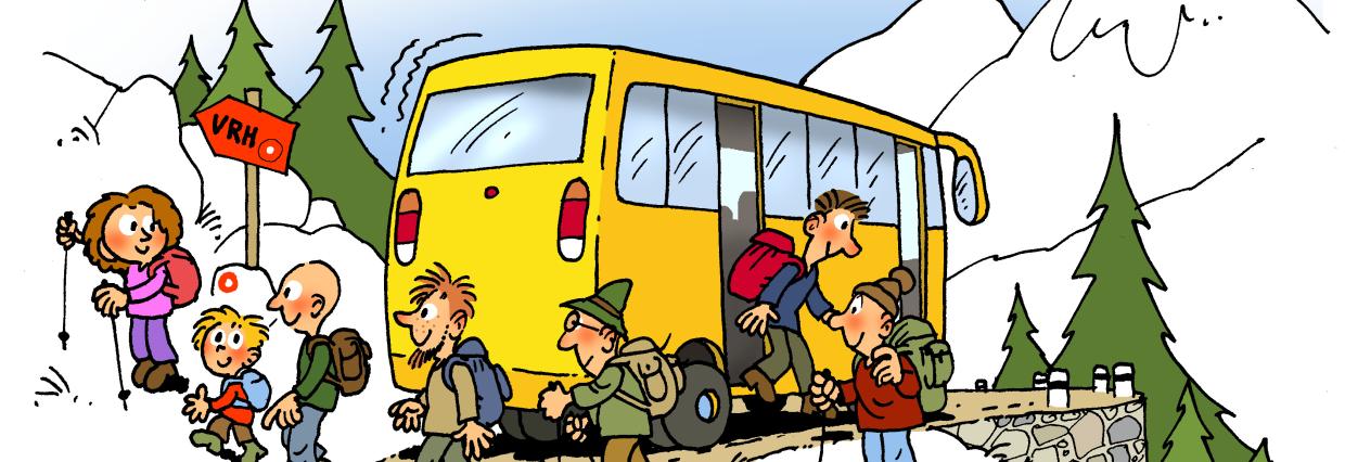
To the mountains by public transport (V hribe z javnim prevozom)
A research team from the Anton Melik Geographical Institute designed 40 mountain hikes suitable for public transport and presented them in a web app and a story map.
The hikes are designed to start and end at different public transport stops. They are served daily, including weekends and public holidays, in the morning/afternoon and afternoon/evening by at least one train or bus from a nearby regional center. The timetables have been carefully considered when designing the hikes, so that all are feasible but require some effort in route planning.
The web app shows the basic outline of each route, and links have been added to the timetables for the start and end stops. The app also has some functionalities, such as route selection by public transport trip duration, length and difficulty, and links have been added to individual trips in the maPZS app.
The product was developed in collaboration with the Alpine Association of Slovenia and aims to reduce the carbon footprint and pressure on the fragile mountain landscape.
The campaign is a result of the LIFE IP CARE4CLIMATE project (LIFE17 IPC/SI/000007), an integral project co-funded by the European LIFE Programme, the Climate Change Fund and the project partners.